
Satellite data may help fight algae blooms

Lake ecosystems sometimes crash after algae blooms ingest too much oxygen, but a solution may be near because of a Binghamton University undergraduate.
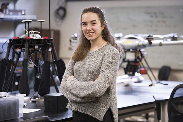
Junior Kelly Young spent last summer tracking algae blooms from 438 miles in the air, via NASA’s Landsat 8 satellite, to learn more about when and where they happen.
Algae blooms occur when run-off drags excess fertilizer into bodies of water, providing the aquatic plant with abundant nutrients. Their population grows exponentially, and they consume all or most of the oxygen in the water. This creates a detrimental effect on the local ecosystem, often called a dead zone, where no life can prosper.
NASA provides open access to Landsat data so scientists can use it. Young believes that with more data on algae blooms, she can help predict and restrain their overgrowth.
“Once the blooms form, it’s really hard to get rid of them or decrease the effect that they have on the environment,” says Young, a double major in environmental studies and geography. “The goal is to be able to create a model to predict where the blooms are going to form and when they are going to form, so we are able to alert local agencies to better prevent the blooms from becoming full blown.”
Every 16 days, a satellite passes over New York’s Chautauqua Lake and Seneca Lake, measuring several ranges of light frequencies, called bands. Landsat 8 measures 11 bands, with only four of them being visible to the naked human eye.
But algae blooms in some lakes are so dense it doesn’t take a high-tech satellite to find them.
“In the summer the algae concentrations are very high so you visibly see it,” Young says. “So on an average day in the summer, if someone is walking by one of these lakes, they will be able to see the algae in a thick green color.”
Young developed a data-processing algorithm, which found that in these lakes harmful algae blooms are mainly focused in the southern basins between May and August. Findings like this help her research group narrow down the timing and location of algae blooms so eventually they can use drones to pick up more detailed readings.
Young says while Landsat data is a necessary beginning for creating a predictive model, there are some major faults that drones could fix.
“When I processed [the Landsat data] for chlorophyll, I found that some months that shouldn’t have a high concentration have a high concentration,” Young says. “That’s because the clouds distort the satellite and the data.”
Young’s research, which was funded by Binghamton University’s Summer Scholars and Artists program, received recognition on campus and beyond.
During the University’s November Geographic Information System (GIS) Day celebration, Kelly’s work won first place in the undergraduate poster competition. She also was invited to present her findings at the 2019 American Geophysical Union’s annual meeting in San Francisco.
Timothy De Smet, director of Binghamton University’s Geophysics and Remote Sensing Laboratory, mentored Young throughout her summer research. He says her findings are vital in the continuation of algae bloom research, and that her inner drive is what led to the project’s success.
“She is extremely hardworking, whether it be as a campus tour guide, in class or on her research,” De Smet says. “She is smart, obviously, but also resilient — you need that grit to make it in research.”
This is not Young’s first experience researching algae; in her Brooklyn high school, she experimented using barley straw to decrease toxicity in algae. She also participated in the First-year Research Immersion program, where her group used drones.