Finding Fort Bull: Archaeologists close to locating French and Indian War battle site

Late in the morning on March 26, 1756, French soldiers stealthily approached Fort Bull, with about three dozen Haudenosaunee warriors among their ranks.
In the heated battle that followed, the French cut off the supply line to Fort Oswego, which they would capture later that year. Fort Bull itself — only a year old — erupted in flames.
“It met a very violent end when a powder magazine was accidentally lit on fire and about 6,000 pounds of powder blew, killing about 50 to 60 defenders,” explained Brian Grills, project director and battlefield archaeologist with Binghamton University’s Public Archaeology Facility (PAF). “The reason for the attack was that the fort is located on the Oneida Carry, which was a very strategic location for military supply chains going from Albany to Fort Oswego. The French decided to cut that supply line off to help protect themselves.”
The exact location of Fort Bull, however, remains a mystery — one that archaeologists may be close to solving.
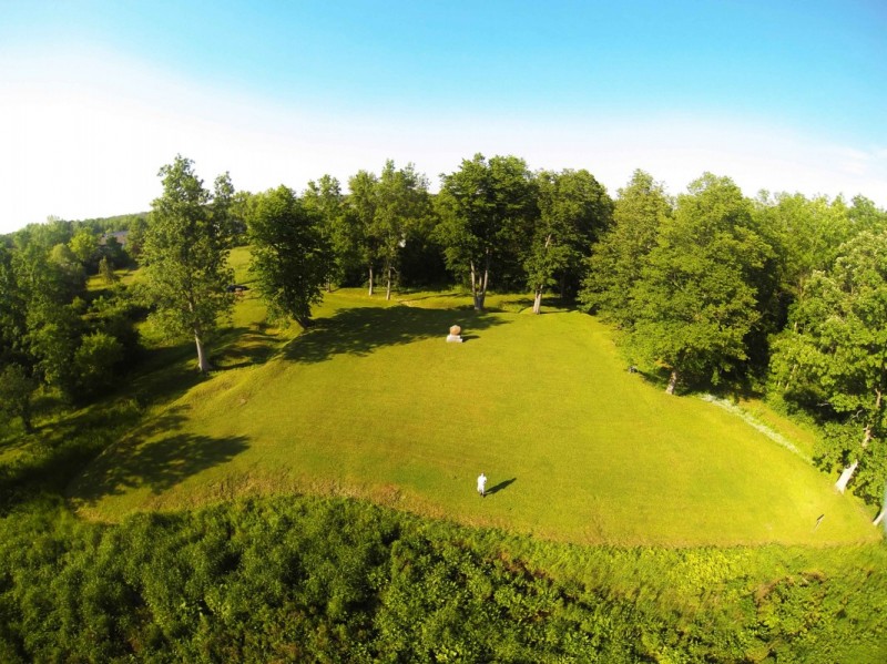
The National Park Service’s American Battlefield Protection Program (ABPP) recently awarded $71,630 to PAF to continue conducting archaeological excavations at the Rome Historical Society’s Fort Bull – Fort Wood Creek site. It expands on a 2018 grant for work at the same site. The project is in partnership with the historical society, which owns the property.
“The French and Indian War isn’t well-researched. It gets forgotten in favor of Revolutionary War battles,” said PAF director Laurie Miroff.
As part of the project, local groups — including veterans and Indigenous teenagers — will participate in a community stewardship program that will both aid preservation efforts and influence the development of interpretative signage.
Both Fort Bull and the Oneida Carrying Place, a four-mile overland route that connected the Mohawk River and Wood Creek, played important roles in shaping the Upper Mohawk Valley’s development. The carrying place was vital to British military strategies starting with the French and Indian War and later saw significant action during St. Leger’s American Revolution Campaign in 1777.
Before European contact, the Oneida used that trail network for trade, and researchers found evidence of a precontact campsite just below the 18th-century occupation. That particular location is a dry spot in what remains a swampy area to this day.
Three months after Fort Bull’s destruction, the British built Fort Wood Creek in the same area. Just how closely that area coincides with the site of the original fort is a matter of debate.
“We’ve been getting a lot of really good clues that we’re in the right area because we’re finding battlefield remnants, such as musket balls that were fired by the French; they used a specific caliber size for their guns that was different than the British,” Grills explained.
According to historical accounts, the British defenders threw hand grenades over the fort’s walls to dissuade the attackers; the archaeologists have found shell fragments of these grenades, which originally weighed around 4½ pounds and were difficult to throw any real distance.
Another clue: Two years ago, the researchers discovered a charred plank from the original fort with a French musket ball embedded in its surface. It was capped by the clay that builders used to construct the second fort, Grills said.
Following the fort’s conflagration, the French threw anything that hadn’t burned into the creek — and probably not far, since cannonballs are heavy.
With the help of Research Assistant Professor Timothy de Smet, director of the Geophysics and Remote Sensing Laboratory, and Associate Professor of Geological Sciences and Environmental Studies Alex Nikulin, researchers flew a drone with a magnetometer over the creek in 2020 and detected anomalies. By the summer of 2022, dry weather and the removal of a beaver dam dropped the creek’s water by around three feet; researchers took the opportunity to investigate its bed for lost artifacts. One of those anomalies turned out to be a dump of cannonballs — yet another clue to the fort’s location.
The archaeologists plan to be back in the field next summer. Military veterans will join them for a week of excavations, as will youth from the Oneida Indian Nation, whose traditional homeland encompasses the battlefield site. Researchers plan to discuss with the Oneida Nation how they would like the site interpreted in historical society displays at the fort and their museum.
The veterans and the Indigenous community may have different perspectives on the site and its meaning, Miroff acknowledged.
“Bringing out members of the community who have a connection in some way to that area or to that history is going to be a whole new component that we’re really excited about,” Miroff said.