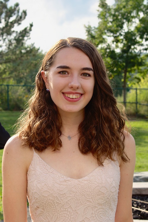
Adelaide
|
What do you do in your spare time on campus?
|
|
I’m a tour guide so that takes up a large portion of time, I love giving tours, speaking
to prospective students. I’m also a residential assistant for Dickinson, so I’m in
O’Connor right now. I love learning and growing with the students on my floor so that’s
really cool.
|
Kelly
|
Adelaide
|
What was your project this summer? What did you research? |
|
|
The research takes place in three steps. So the first step, which was what I was doing
over the summer, was processing already collected data from a satellite called Landsat
8, which circles the Earth every sixteen days or so. And so I was using ArcMap, which
is a form of geographical information systems to process the already collected data
from 2017-2019, in order to analyze the chlorophyll concentrations and ultimately
be able to see where the algal blooms form in the lake, what quantities, and things
like that.
|
Kelly
|
Adelaide
|
How did you get involved in this research? |
| I did a lot of research in high school and I focused on bioremediation using plants
to absorb heavy metals and things like that, so I knew I wanted to go into environmental
research of some type. So I actually got invited into FRI at the end of my freshman
year, so I said “Yes of course I want to be a part of it!” and so then I just joined
the stream, went through the three semesters. And I actually studied harmful algal
blooms in high school, so when we picked this as our project, I already had some background
knowledge so it was really cool to be able to develop off of that and continue the
field of study.
|
Kelly
|
Adelaide
|
What did you learn? |
| I processed all the data and I came up with two figures that basically showed the
progression of the blooms in 2018, one for Lake Chautauqua and one for Lake Seneca,
and I saw that the blooms form sort of in the southern part of the lake, and that’s
probably due to how the water circulates. So when we go and we actually take the drones
out, probably the next growing season, we’re probably going to take sample data from
that portion of the lake, or try to get an image of how the blooms from and to collect
data from the drone, because it may be able to see and process different types of
data. So that’s really exciting.
|
Kelly
|
Adelaide
|
What makes these algal blooms so dangerous? |
| Harmful algal blooms are really bad for the environment. So what they do is when they
form in the water, they form from increased levels of nitrogen and phosphorous, so
when those concentrations increase, the blooms increase astronomically. They form
between May and October, those are kind of the main growing seasons. When they die,
they start to deplete the water of oxygen, and then that causes hypoxia which is water
that has no oxygen. Then fish can’t live in there and it degrades the environment,
and then shellfish die so it decreases tourism so the water isn’t usable anymore.
It increases illnesses in humans, dogs, babies, things like that. So it’s just all
around negative.
|
Kelly
|
Adelaide
|
So what’s the next step for research? |
| It’s definitely a work in progress. It’s currently a freshman FRI group’s (like the
new year coming in) that’s working on it too, so they’re picking up where we will
ultimately leave off because they’re younger than us. So we still have to collect
the data from the drones, then process it and create the model itself. We’re the first
year of this project, so we’re kind of pioneering it. We have the first data to be
made for it and then everyone’s going to be building off of it after we’re graduated,
[but] we’re presenting at American Geophysical Union which is a conference in San
Francisco in December.
|
Kelly
|
|

