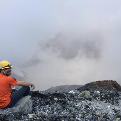
In this stream, research focuses on answering problems on many scales that range from local topics, such as harmful algal blooms in the Finger Lakes, to large global issues, such as detecting unexploded ordnance (UXO) and determining how Earth’s surface and environments have changed over time. The stream uses a combination of field-, data-, and lab-based approaches that collect and analyze detailed data for mapping across huge spans of Earth. Many of the questions we address rely on techniques that allow researchers to “see” below the Earth’s surface. The research carried out by first-year students in the Environmental Visualization research stream at Binghamton University include projects ranging across many disciplines including: archeology, seismology, and petroleum geology.
Environmental Visualization with Drones is cross-disciplinary in nature
Environmental Visualization
Geophysics
Geotechnical Engineering
Environmental Conservation & Sustainability
Archaeology
Anthropology
Public Health
Environmental Visualization with Drones research intersects the traditional disciplines of Geology, Chemistry, Physics, Environmental Studies, Anthropology, and Geography. The research questions our FRI students investigate, in particular, are to better understand subsurface features of Earth and thus, contribute to addressing today’s environmental problems.
Environmental Visualization Research Educator