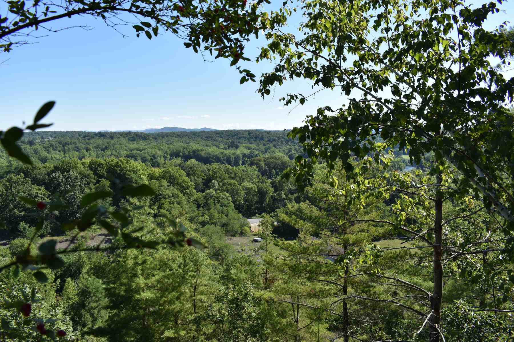
View from Stark’s Knob looking north to the Hudson River. The NY Route 4 bridge across the Hudson River can be seen in the distance.
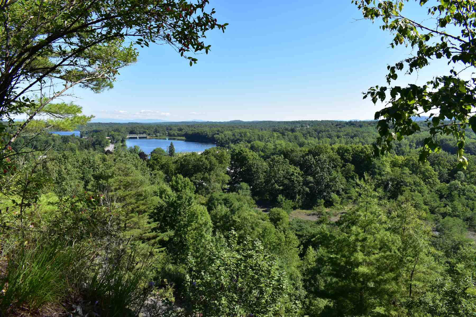
Stark's Knob was the last position to be occupied by the surrounding American Army. General John Stark moved his New Hampshire and Vermont Militiamen south from Fort Edward. On October 12, he crossed the Hudson River north of the Battenkill River to fill the gap between Morgan’s line and the Hudson River. This gap was the last avenue of escape for the British Army. Stark's Knob is the highest point in General John Stark’s position north of the British encampment. He used this position to observe British and German movements and prevent them from retreating to the north along the west side of the Hudson. Stark's Knob also provided an obstacle to the retreating British as it restricted movement to the north within a narrow gap between the heights of the knob and the Hudson River.
Parking for Henry Knox Pocket Park near Starks Knob
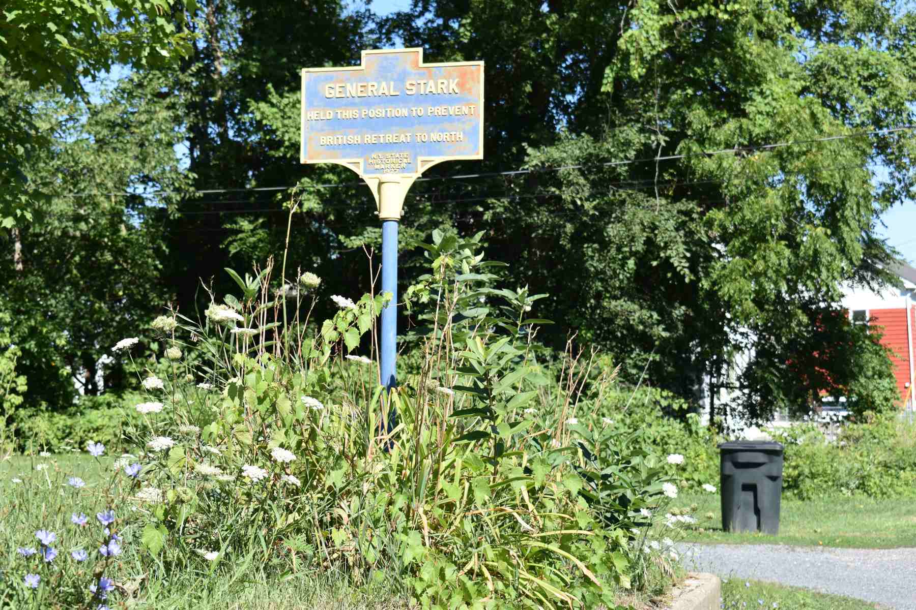
Historical marker for the location of Gen. Stark’s militia on NY Route 4.
View from Stark’s Knob looking southeast to Hudson Crossing Park.
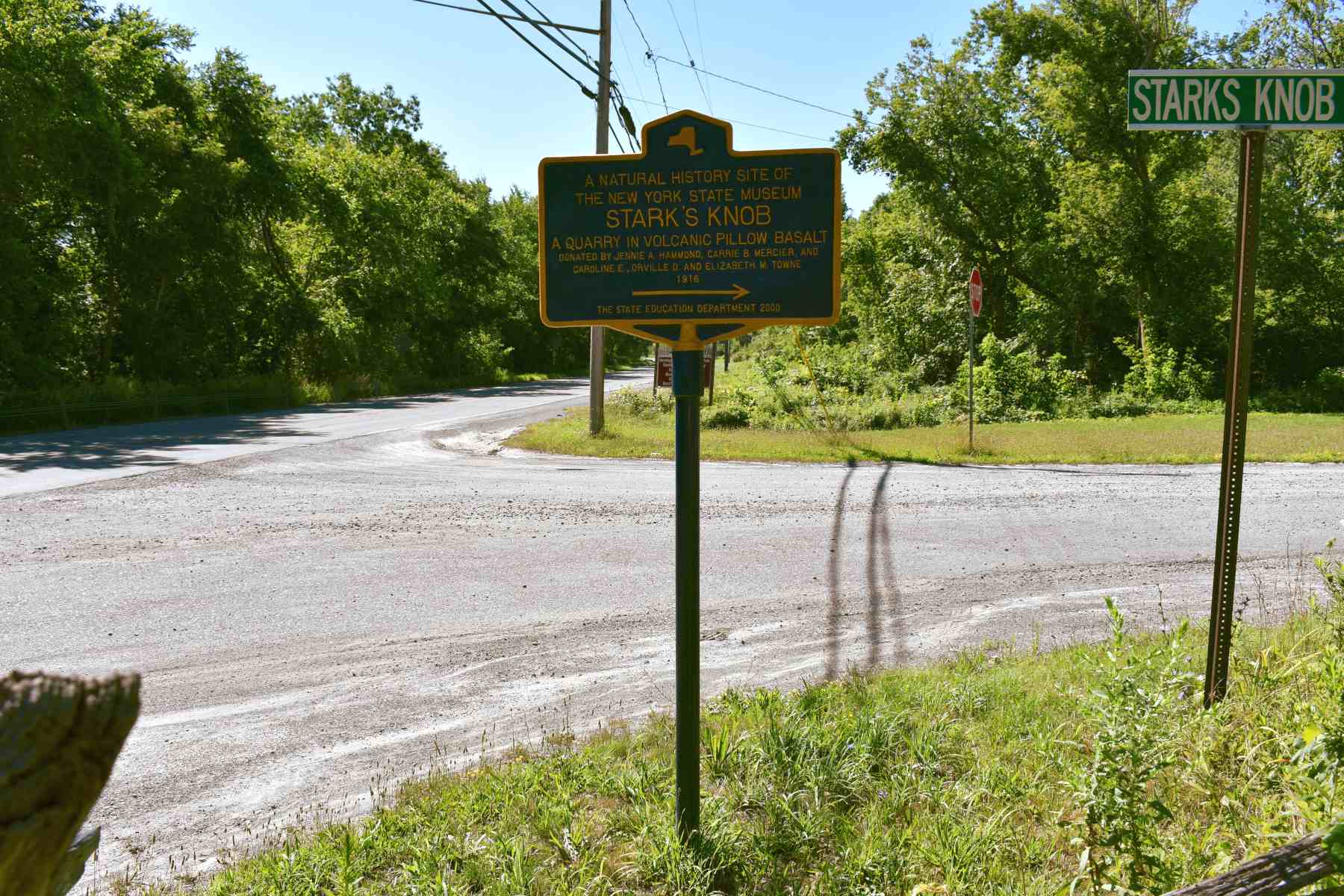
Historical marker for Stark’s Knob on the corner of NY Route 4 and Starks Knob Road.