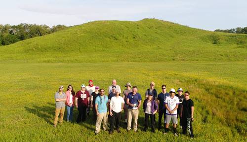
FRI Environmental Visualization Research Stream
Telling the Story of the Environment Around Us Through Mapping and Data-Driven Visuals
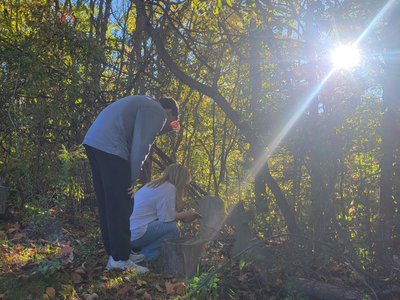
The Environmental Visualization stream focuses on answering problems on many scales that range from local topics, such as harmful algal blooms in the Finger Lakes, to large global issues, such as detecting unexploded ordnance (UXO) and determining how Earth’s surface and environments have changed over time. The stream uses a combination of field-, data-, and lab-based approaches that collect and analyze detailed data for mapping across huge spans of Earth. Many of the questions we address rely on techniques that allow researchers to “see” below the Earth’s surface. The research carried out by first-year students in the Environmental Visualization research stream at Binghamton University include projects ranging across many disciplines including: archeology, seismology, and petroleum geology.
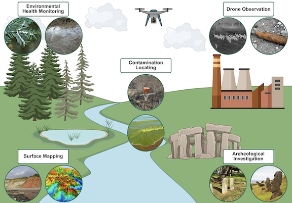
Environmental Visualization with Drones research intersects the traditional disciplines of Geology, Chemistry, Physics, Environmental Studies, Anthropology, and Geography. The research questions our FRI students investigate, in particular, are to better understand subsurface features of Earth and thus, contribute to addressing today’s environmental problems.
Research Themes
Surface Mapping
Contamination Locating
Archeological Investigations
Environmental Health Monitoring
Research Educator
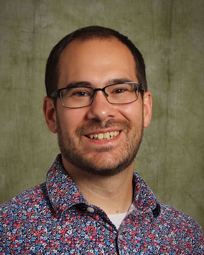
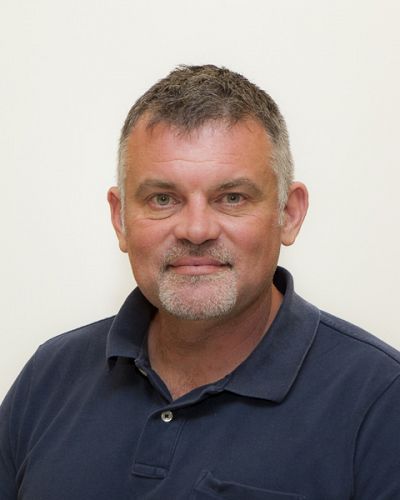
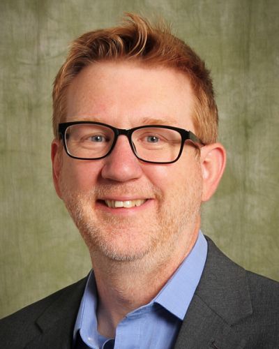
Joe Panzik
Environmental Visualization, Research Assistant Professor
First-year Research Immersion Program; Department of Earth Sciences
View Full Profile Research Interests
Dr. Joe Panzik is the Research Educator for the Environmental Visualization research stream and has been part of the FRI program since 2023. His research focuses on using magnetic fields preserved in rocks to understand how land masses and Earth’s magnetic field have changed over Earth’s lifespan. Additionally, Dr. Panzik focuses on using data science to understand the limitations of various methods in Earth Science. Since joining Binghamton University he has expanded into using drones and other geophysical equipment to monitor and observe our environments, society, and archeological structures.
In the class room Dr. Panzik focuses on active engagement where all students are able
to interact with material. He believes the most important key to training students
for future success is to be a present, engaged, enthusiastic mentor who is invested
in each student as an individual both within and beyond their courses, and to increase
accessibility in the geosciences.
Research Techniques
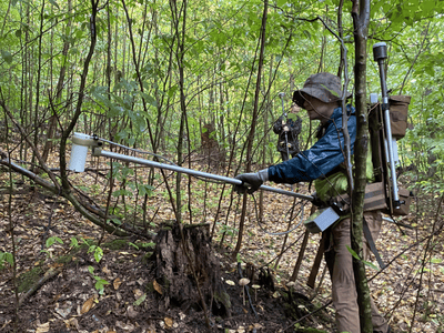
Data Collection
Ground
- GPR
- Magnetometer
- GPS
Drone
- Visible
- Thermal
- Multi-Spectral
Database
- LiDAR
- USGS
- Historic
Analysis
Computation
- R and RStudio
- Python
- Excel
Signal Analysis
- GPR
- Magnetometer
- Thermal
Mapping
- ArcGIS
- Google Earth
Outcomes
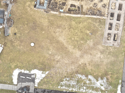
Surface Maps
- Orthomosaics
- Digital Elevation
- Reflectance
Below Ground
- Archeology
- Environmental
- Geological
Community
- Humantitarian
- Citizen science
- Outreach
Research Projects
-
Cohort 11 (2024-2025)
- Comparing methods of measuring trailside vegetation degradation
- Impacts of climate change-induced precipitation on plant health at Binghamton
- Understanding representation of geoscience
- Using electromagnetic induction to map underground water sources
- Volume estimation of cavities using ground penetrating radar (GPR)
-
Cohort 10 (2023-2024)
- Biological soil crusts (BSCs) in the wetlands of Binghamton, NY
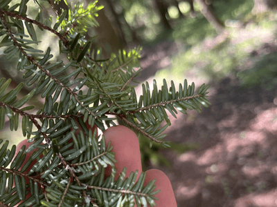
- Hemlock wooly adelgid (HWA) and its effect on the relative dielectric permittivity in hemlock trees
- Identification of orphaned methane wells in Salt Springs State Park, PA
- Subsurface cemetery mapping with ground penetrating rada
-
Cohort 9 (2022-2023)
- Assessment of UAV-mounted GPR for UXO detection
- Comparing UAV detection of UXO via magnetometry
- Importance of atmospheric correction in UAV detection of harmful algal blooms
- Non-invasively mapping mycelium using geophysical methods
- Seasonal variation in detecting submarine groundwater discharge using drone-mounted thermal imaging
-
Cohort 8 (2021-2022)
- Hyperspectral imaging can be used to detect and monitor harmful algal blooms
- Testing the combination of imidicloprid and forest thinning treatments to reduce the spread of HWA
- Utilizing hyperspectral imaging & LiDAR to detect explosive remnants of war
- Utilizing thermal imaging to detect UXOs: field trial results
-
Cohort 7 (2020-2021)
- The non target effects of entomopathogenic fungi on Sasajiscymnus tsuage: A pilot study
- Effective spatial sensing of abandoned oil wells
- Remote detection of landmines
- UAV-based monitoring to track deer overpopulation in upstate New York
- Using hyperspectral imaging to detect harmful algal blooms
-
Cohort 6 (2019-2020)
- Creating a geodatabase to prevent Lyme disease
- Geospatial technology to track genocidal activity in Myanmar
- Remote sensing of harmful algal blooms
- Remote sensing to detect anti-tank mines
- The effect of imidacloprid on hemlock woolly adelgid populations
-
Cohort 5 (2018-2019)
- Predictive modeling of disease-carrying tick density using remote sensing
- Spectral Detection of Stress in the Eastern Hemlock by Woolly Adelgid
- The Use of Spectral Remote Sensing to Detect, Monitor and Predict Harmful Algal Bloom Location and Intensity
- Using Existing Data Sets and Statistical Analysis to Predict the Likelihood of Mass Shootings in Florida
-
Cohort 4 (2017-2018)
- A Statistical Approach to Modeling Induced Seismicity in Oklahoma Using Multiple Linear Regression
- Comparison of Remote Sensing Techniques in the Search for Unmarked Buried Bodies
- Deploying a UAV-Based System to Identify MEthane-Emitting Oil and Gas Wells
- Remote Sensing and World Systems Theory at Queen Esthers Site
- Using Remote Sensing to Detect Tree Distress Due to Woolly Adelgid Infestation
-
Cohort 3 (2016-2017)
- Detecting PFM-1 Mines Using Drone-based Thermal Imaging
- Detecting Pig Cadaver Clandestine Graves
Research Stream Collaborators
Carl P. Lipo
Professor; Associate Dean for Research and Programs
Anthropology; Harpur College of Arts and Sciences
Research Interests
Alex Nikulin
Associate Professor; Department Chair
Department of Earth Sciences
Research Interests
Jeffrey T. Pietras
Associate Professor, Graduate Director
Department of Earth Sciences
Research Interests
Thomas Pingel
Associate Professor and Chair of Geography
Geography
Research Interests
Sina Saneiyan
Assistant Professor
Department of Earth Sciences
Research Interests
Sarah Sheffield
Assistant Professor, Undergraduate Director
Department of Earth Sciences
Research Interests