Phase 1: Archaeological Reconnaissance Survey
During the reconnaissance survey, crews excavated 273 shovel test pits (STPs) at 15 m (50 ft) and 7.5 m (25 ft) intervals along both sides of NY 68 for a distance of 1931 m (6336 ft) in the Towns of Oswegatchie and Lisbon. Three of these STPs revealed the presence of a sheet midden on the property of a farmhouse constructed in the early- to mid-19th century. An area measuring approximately 75 m (246 ft) by 10 m (33 ft) was designated as the L. Northrup site. The site name was derived from an 1858 map of the area, showing L. Northrup as the apparent property owner (Jacobson et al. 2007).
Phase 2: Site Examination
A site examination was conducted in September of 2007, and consisted of four excavation units. The units measured 1 x 1 m (3.3 x 3.3 ft), and were excavated in 5 cm (2 in) levels within discrete soil horizons. As with the reconnaissance survey, all soil was screened through 1/4" hardware cloth. The units were placed in relation to the survey STPs to provide coverage across the site. Two of these units, located to the west of the historic house, revealed little material culture, and disturbed soil layers. However, the other two units in front of the house yielded a total of 448 artifacts.
Site examination results
Based on the findings of the site examination, the site was reduced from an initial size of 750 m2 (8118 ft2) to its current area of 475 m2 (5112.9 ft2). The western portion of the site was determined to lack integrity, limiting the data recovery to the portion of the site east of the driveway, comprising 232 m2 (2497.2 ft2) (Kastl 2008).
Diagnostic artifacts (artifacts with known dates of manufacture) from the two units in the front yard of the historic house showed a mean manufacture date of 1845. The mean and individual manufacture dates indicate that the artifacts in the sheet midden were mainly deposited in the early- to mid-19th century. The artifact assemblage also exhibited a moderate diversity, with a predominance of artifacts related to food consumption (vessels for food preparation, storage, and consumption, as well as animal bones) and architectural structure (nails and window glass).
Additional documentary research at the site examination phase suggested that the mid-19th century property owner, Lewis Northrup, was a wealthy farmer who also owned the tavern/hotel across the road. Archaeological and documentary evidence showed that the L. Northrup site had been occupied from at least 1830 to the present. Due to the combination of historic setting and the nature of the artifacts recovered from the two units, the L. Northrup site was declared eligible for the National Register of Historic Places. The Public Archaeology Facility recommended a third phase of work, a data recovery, involving further excavation and documentary research.
Phase 3: Data Recovery
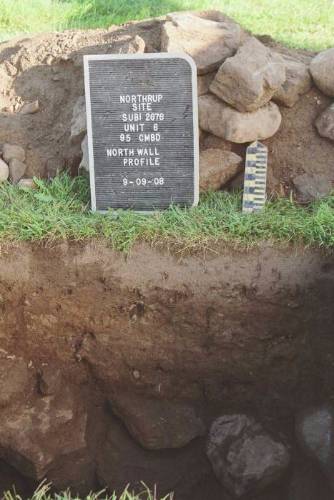
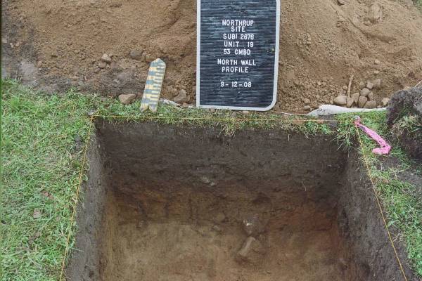
The data recovery plan for the L. Northrup Site (Hohman 2008) proposed the excavation of 15-20 1 x 1 meter units. The data recovery excavations focused on the site area in front of the historic house. Seven units were placed across the site at 5 m (16 ft) intervals. This grid was placed to include one of the site examination units. The remaining data recovery units were placed judgmentally in areas of high artifact concentrations, with one unit placed to further sample a feature found during excavation. The typical soil profile in this area of the site consisted of a dark brown sandy loam (A horizon) over a yellow brown to strong brown sandy loam (B horizon).
The data recovery phase was conducted in the fall of 2008. Within the revised site boundaries, crews excavated 20 1 x 1 m (3.3 x 3.3 ft) units. Including the two units excavated during the site examination and one STP during the reconnaissance survey, resulted in a total area sampled of 22.11 m2 (238 ft2). This represents approximately 9.5% of the data recovery excavation area in the front yard of the historic house.
Features
One historic period feature was identified during excavation of the L. Northrup site. One other possible feature (Feature 1) was later identified as a more modern disturbance, probably related to utilities or road work. Therefore, the site’s single historic feature is designated as “Feature 2.”
Feature 2 is mainly located outside the project area, north of the DOT project boundary. It is visible as a depression in the ground surface south of the historic standing structure, measuring approximately 9 m x 3.5 m (30 ft x 11.5 ft). Our excavations intersected the feature’s southern edge in three units. In these units, the feature consisted of jumbled fieldstone with some remnants of mortar. It extended to a depth of at least 95 cm (37 in). Because the feature extended only approximately 50 cm (20 in) into the project area, it is impossible to tell what its original purpose was. Archaeologists recovered 86 artifacts from Feature 2 within the three units. These artifacts included diagnostic ceramics dating to the late eighteenth through the nineteenth centuries, fragments of glass, undiagnostic ferrous metal, and cut nails. The location of the feature in front of the house, and the presence of window glass and nails suggest an outbuilding or perhaps the remains of a structure predating the current standing historic house.